The Island
- Blu Acciaio Editor
- Dec 31, 2017
- 8 min read
Updated: May 10, 2022
1 617 kilometers and 17 stages it took us to ride the Hringvegur around Iceland. Although the grandest of adventures without doubt lures in the interior of the saga island, the ring road also holds more than a few epic sights and experiences. On this page you can read a short summary of our ride, look at a great many pictures, inspect the route and download detailed stage info.
We started out with a bit of a transport leg from Keflavik to Reykjavik, where we had to pickup fuel for our stove at Iceland Camping Equipment. Turns out most gas stations also sell fuel for stoves, but then we got at least to see Reykjavik. We had some difficulties navigating the last kilometers into Reykjavik due to much traffic. That said, the highway from Keflavik is actually quite good for bicycling most of the way, with broad shoulders. After picking up our fuel we pedaled on to our first campsite at Mosfellsbær. This means we chose to ride northeast, clockwise around the island. Our decision to do so was not based on much, except this article, which is a great read in any case. We cant really say if it was a coincidence or not, but we did have good tailwind most days, or at least not block headwind.

There is supposedly only one tunnel on Iceand were cyclists are not allowed to ride and thats the tunnel under Hvalfjörður. This means that riders must divert to road 47 and go around the fjord. The detour is quite a pleasant experience really, with few cars, as most go through the tunnel.

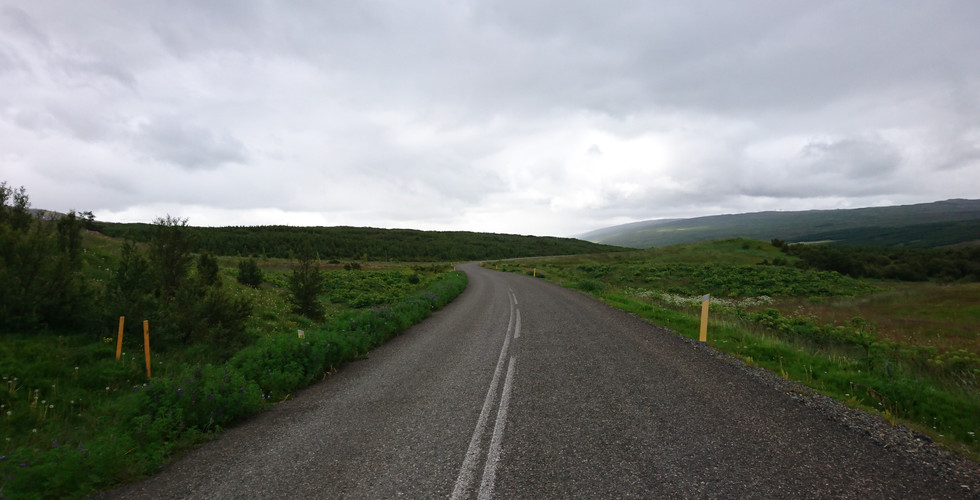
After finishing up with the detour at road 47 we got back on the main road and kept going northeast. We stopped at a campsite just in the outskirts of the village of Varmaland. The scenery was nice and it turned out that the campsites on the northern part of Iceland are far less crowded than on the south side. The service offering on these campsite varies, so its good to always plan with dinner and breakfast in advance. Fresh water, showers and so forth were however always readily available. And as for service offerings in general, assuming you stick to the ring road, as long as you carry food for one or two days you are covered. There are gas stations and grocery stores all along the way where you can stock up, although a bit more frequent at the south side of Iceland. Look for Bonus, Netto and N1 at Google maps, but be aware that some of the N1s are self service gas stations with nothing other than pumps.

Upon leaving the next morning our spirit was sky high and we felt like taking things up a notch. Instead of backtracking the few kilometers back to the main road, we decided to follow a secondary road, which would join with the main road a few kilometers ahead. Before long a sign warned that the road was only suitable for 4x4 vehicles. It could very well advised that loaded touring bikes would also not be a good choice. A few kilometers in we damaged our gear shifter and we were chilled by the notion that this grand endevour could be over before it really began. Luckily the Rohloff system is sturdy and quite responsive to roadside repairs. So with a few strips and generous amounts of duct tape we got things patched up good enough to get the shifter going again. Doing Iceland with a single speed is definitely not something we would recommend.

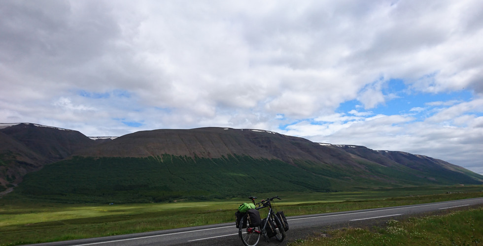
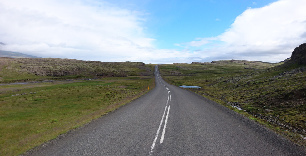
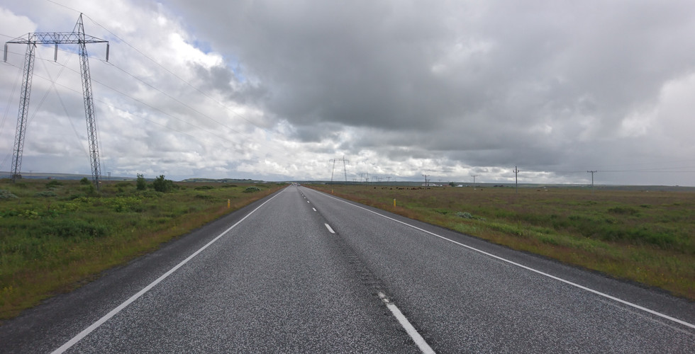
A well known fact about Iceland is that the weather changes quickly. In just a short time it can go from a cozy sunny ride to a laborious stormy ride. This is particularly the case in the interior of the island, but also quite noticeable at the ring road. In other words, keep those parkas easily at hand. Another well known fact is that the ring road has a lot of long straight stretches, particularly on the western part of the island. Although these stretches dont have much elevation, they can be quite demanding if you experience headwind as it is really nothing that take off from the wind. Luckily we just experienced that a few times, but that was enough! We gave it almost all we got and managed to keep an average speed of 10 km/h.

Going northeast, Akureyri with its some 18 000 inhabitants, is the first city of some size you will find after leaving Reykjavik. Akureyri is super nice and well worth a resting day. Among other things you can see giants swim in the Eyjafjord. If you prefer a break from the camping experience, there are also quite a few hotels in Akureyri. We spent a few days on Hotel Kjarnalundur, just outside the city center. In general the availability of hotels are however much greater at the south side of Iceland, particularly west of Vik. They are nevertheless quite pricey, usually starting from about 160 EUR a night.

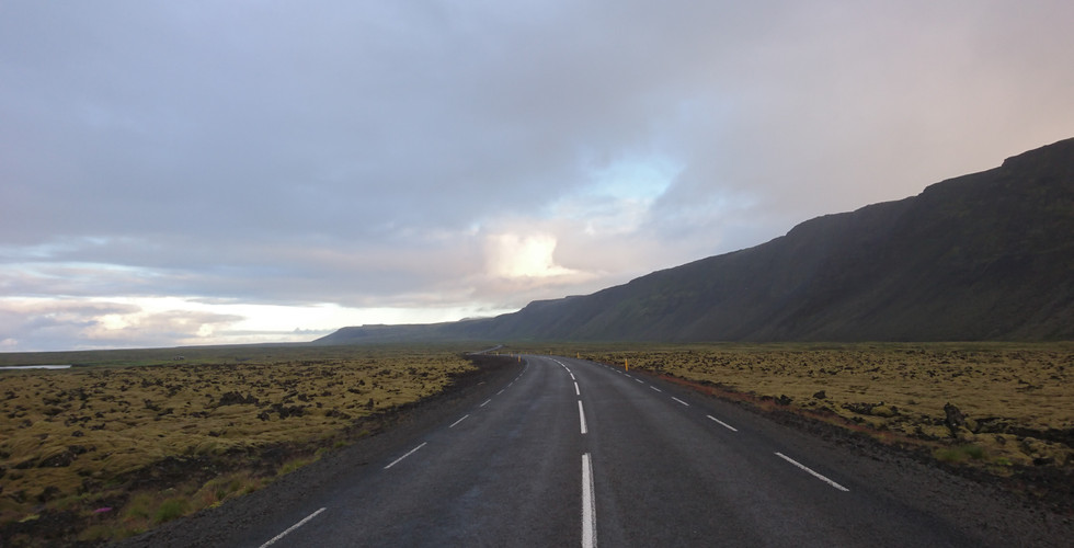
After Akureyri we sat course for Mývatn, some 90 km to the east. Its fascinating to see how the scenery change from luscious green hills and fields to a more lava-like and volcanic landscape. Upon approaching Mývatn from the west, be sure to divert from the main road and get onto road 848. This road provides for a scenic route around the lake, with less traffic than han road 1. At the easternmost end of Mývatn there are some nice campsites, but they were quite crowded when we visited mid July.

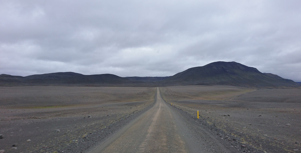
Starting from Mývatn and going east, there are some quite long stretches, as you really enter into the volcanic and desert looking landscape. There are still gas stations, small roadside shops and campsites, but they are considerably more scarce than further to the west. In that sense, this is definitely a part of the ride that requires a bit more planning. The stretches are however not longer than what is possible to pedal through over the course of a day, e.g. around 100 kilometers. About six kilometers from Mývatn you will reach Námafjall. This is a volcanic mountain and at the foot there are a number of hot springs. Not something you would dip your toe into, but definitely spectacular to look at!
Mostly we stayed at the main road, but on a few occasions we chose to detour onto one of the numerous gravel roads that originates from hringvegur. One of them opens up at the right, or south if you will, just about 30 kilometers east of Mývatn. The conditions of these gravel roads varies greatly. Some are hard packed gravel all the way and perfectly fine to ride with a fully loaded touring bike, sporting 700x40c tires. Others turn into regular all terrain tracks after a while, typically when it is too late to turn around, and are almost certain to down your bike and possibly also yourself. In other words, choose wisely when embarking on these adventures in the adventure. The gravel road mentioned here, labeled F88 at the map, is perfectly fine to ride with a touring bike. It gets a bit rougher after a while, but nothing that cant be overcome.

After going south about eight kilometers on the F88 we reached a cafe located at a place called Fjalladyrd Modrudal. It just lies out there, in the middle of nowhere and its a great camping site, with all amenities. The cafe is rumoured to serve the best meat soup in Iceland. We don´t have much to compare to, but after having the soup for dinner, we agree! Continuing south after Fjalladyrd Modrudal, you really get a taste of what the Icelandic interior could look like. The roads winds through roughly 30 kilometers of desert looking landscape, resembling Mars more than anything else, before it connects back onto the main road.

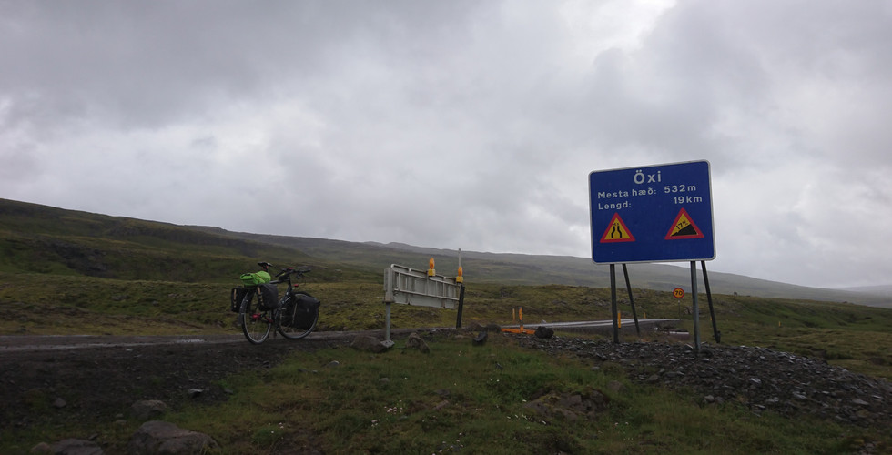
The eastern most point of our tour was Egilsstaðir. Its not a big place, with just over 2000 inhabitants, but it has plenty of both shops and restaurants, and even an airport. Its a good place to camp and stock up. Heading southwest from Egilsstaðir, we braced ourselves for the crossing of the Oxy Pass. The pass is at about 540 meters. Not crazy high an altitude compared to other feats of ours, if we may say so, but the climb seemed long enough at the time. It certainly did not help matters that we had to ride under our mosquito net most of the climb. Never before have we seen so many and determined mosquitos, coordinated as well. It was however well worth it. The view from the Oxy Pass is amazing and the descent is quite frisky, on gravel roads with some parts almost at a 17% decline. The road has earned itself a place on the infamous listing of dangerousroads.org, but is really quite nice as long as you pump those breaks regularly.

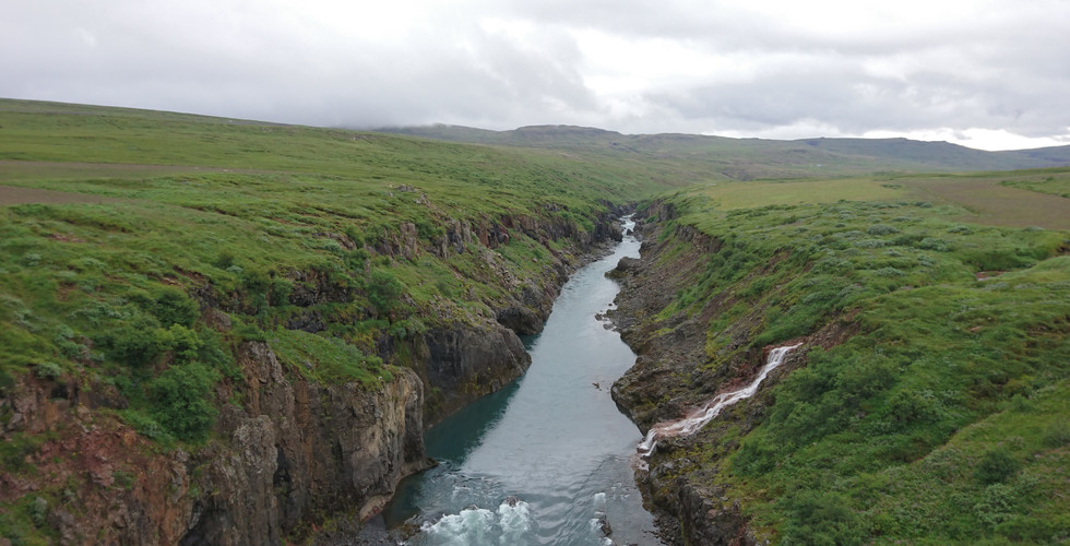
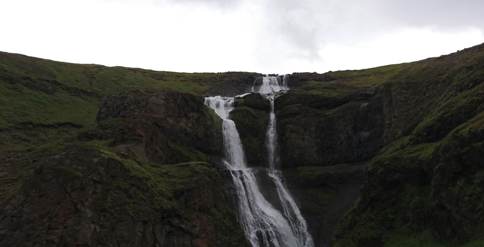
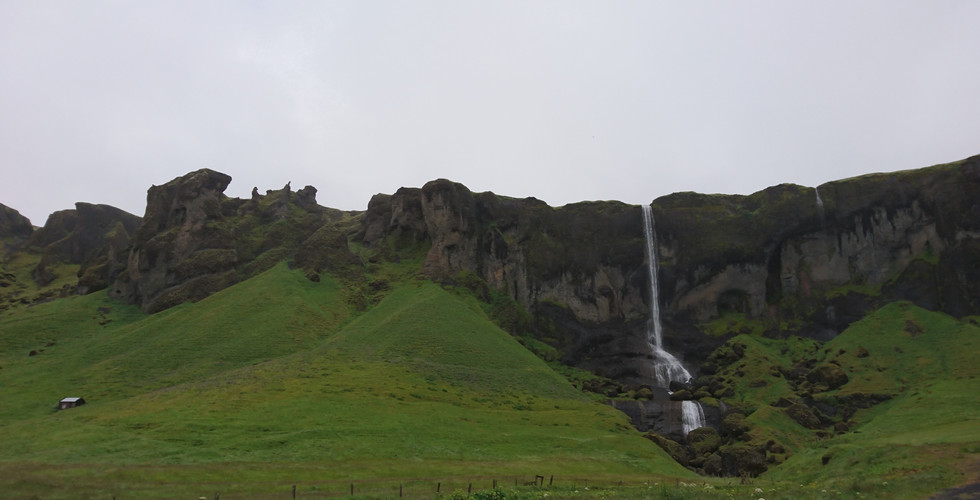
One of the things that really fascinated us about Iceland is how the landscape keeps changing, from mountains and rolling hills to endless flats, and from luscious green valleys to Mars-like landscapes. After reaching Vik and going further to the west, the landscape definitely flattens out. But there are still great sights to enjoy, for example the sand dunes south of Lækjavik and the iconic Seljalandsfoss. A bit further to the northeast there are also icebergs coming from the Jökulsárlón Glacier.
As we kept going west the headwind became ever more fierce. We are not quite sure exactly how many meters per second it could have been, but at times we struggled to keep our pace above 10 km/h. As we approached Keflavik we were completely exhausted from the headwind and ended up taking the last stretch as a night ride, in an effort to dodge some of the headwind. It worked and as a bonus we got to see the sunrise as we ended our journey.

Bicycling on Iceland is really something that should be experienced. We always felt safe and the people who live there are super friendly. Expect most hotels to be fully booked in high-season from June to August. That problem is however easily alleviated by bringing your own tent. Wild camping is discouraged to protect the fragile nature of Iceland. Generally speaking there are ample camping sites scattered around the island, although a bit fewer in the northeast. The campsites are crowded, particularly on the south side, but there is always room for one more tent... Be however prepared to stand in line to get your minutes of shower time, optionally arrive early and leave early.
Riding on the Hringvegur, which is the main road around Iceland, generally felt safe. There were however some stretches that felt less comfortable, particularly the stretch from Hella to Hveragerðisbær. We experienced heavy and high-speed traffic and a very bumpy, narrow and lousy road shoulder. In general the southwest of the island seem a lot more busy and crowded than the other parts. Probably due to the many attractions in that area that are within a days driving range from Reykjavik and Keflavik.
Finally, when arriving and departing Iceland, the Aurora Star is an excellent choice of hotell. It is relatively cheap and in walking distance to the airport. In walking distance from the hotel there is also a car rental shop called Geysir. For a fee they will store your bike box while you tour the island.
Below are some of the links we found useful when planning our trip to Iceland. Hopefully others out there will also find them helpful. And do let us know if we can help with advice! Iceland definitely deserves a place fairly high up on the bucket list of you tourers out there!
Below is our final route. It is based on GPX-files we recorded along the way. Check out our GPX-files and photos below the map.

Click the links below to download GPX-info for each stage

































Comments