The making of a randonneur
- Blu Acciaio Editor
- Jun 25, 2017
- 3 min read
Updated: Apr 10, 2024
To unlock our next adventures we are in dire need of upping our tenting skills. On that note we headed for the mountains of Norway. We opted for the more hilly route right from the getgo and followed road 287 over Eggedal to Nesbyen. There are some steep climbs going west, but the scenery is beautiful and the descent to Nesbyen is definitely worth the climb.

We then set course for Geilo and headed back up into the hills. Passing Geilo we got onto RV7. This road will take you over Hardangervidda and is definitely one for the bucketlist. On the way west we passed magnificent plateaus, huge waterfalls and narrow tunnels spiraling down from the highlands to the fjords below. RV7 merges with RV13 about 15 kilometers after Eidfjord. At that point you will see Hardangerbrua to the north. Being about 1380 meters long, this be the longest suspension bridge in Norway and also among the top ten longest suspension bridges in the world. It is actually 30 meters longer than the famous Golden Gate Bridge in San Francisco.

After Kinsarvik the road is fairly flat until you reach Odda. There begins a new climb and once again we worked our way up to the mountain plateaus. There are quite a lot of tunnels along the way. These are not allowed for bicycling. A bonus actually, as bicyclists are redirected to the old roads that twist and turn over a number of stunning mountain passes. One of these is Seljestadjuvet. A postal officer was taken by an avalanche there in 1903. After 56 hours he had managed to dig his way out, by using his postal horn...

After reaching Håra, we turned east and headed for Haukeligrend, and then south over Hovden, on our way to Kristiansand. By the time we reached Kristiansand we did not have strength for more climbs, so we called it a day and shuttled with Colorline to Hirtshals. From there we went through Denmark and then into Germany to Berlin. After reaching Berlin we turned back to Kiel and got the ferry back home.

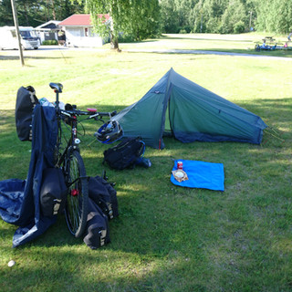
The highlight of this tour was definitely from Geilo to Bykle and we strongly recommend that stretch to our fellow bicyclists. In all honesty we should mention that we managed to pitch our tent only once, so we certainly have ways to go in that department still.
Below is our final route. It is exact and based on GPX-files we recorded along the way. Check out our GPX-files and photos below the map.

Click the links below to download GPX-info for each stage


Comments